North American Continental Passes
North American mountain highways present a striking contrast to European routes. Instead of ancient mule tracks retrofitted for modern transit, high-altitude passes through the Rocky Mountains, Sierra Nevada, and Cascades were planned from the outset to accommodate wide-track freight vehicles, recreational haulers, and transcontinental trade.
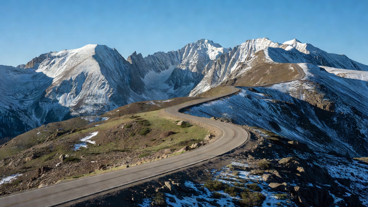
1. Trail Ridge Road (Rocky Mountain National Park, Colorado)
Climbing to a maximum altitude of 3,713 meters (12,183 ft), Trail Ridge Road (US Highway 34) is the highest continuous paved highway in North America. Traversing 77 kilometers between Estes Park and Grand Lake, the road stays above the alpine timberline (roughly 3,500 meters) for 18 continuous kilometers.
Engineered by the Bureau of Public Roads in the early 1930s, the design strictly capped the maximum ruling grade at 7%, prioritizing sweeping curves over cramped hairpins. This intentional design allowed early low-horsepower touring sedans to climb without constant overheating. However, traversing alpine tundra exposed the asphalt to cryogenic soil heaves; modern maintenance crews utilize subterranean thermal siphons and permeable aggregate sub-bases to drain meltwater before frost crystallization shatters the roadbed.
2. US 550 – The "Million Dollar Highway" (San Juan Mountains)
Connecting Ouray and Silverton in southwest Colorado, the Million Dollar Highway cuts through the Uncompahgre Gorge over Red Mountain Pass (3,358 m). The road is notorious for having zero guardrails along its sheer outer drop-offs.
The absence of guardrails is an intentional engineering compromise: the gorge's narrow cliff shelf leaves no room for plows to push winter snow over outer barriers. Guardrails would cause snowdrifts to pack directly into the driving lane, closing the only winter artery connecting isolated mining communities. The route is subject to over 70 active avalanche slide paths, monitored around the clock by CDOT avalanche mitigation cannons.
3. Tioga Pass & The Sierra Crest (California)
At 3,031 meters (9,943 ft), California State Route 120 over Tioga Pass represents the highest vehicular crossing of the Sierra Nevada, providing the sole eastern entrance to Yosemite National Park.
Because the Pacific storms dropping onto the Sierra Nevada deposit some of the deepest snowpacks in North America (routinely exceeding 10 meters of compacted snow at Olmsted Point and Tenaya Lake), Tioga Pass typically remains shuttered from November until late May or June. Clearing operations involve bulldozers ripping through dense, icy snow known as "Sierra cement" before road surfaces can be inspected for rockslide damage and opened to summer park visitors.