Cartographic Mission & Ethos
Quiva Pickle Parad was conceived as an antidote to casual scenic highway lists that overlook the sheer mechanical and civil engineering truth of mountain roads. A high pass is never merely a photo backdrop; it is an active mechanical trial for both vehicle and operator.
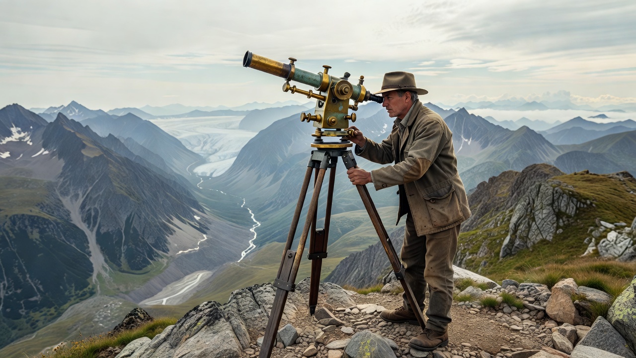
1. The Contemplative Cartographer's Perspective
Our work approaches the mountain highway as an interactive monument. When Donegani laid out the ramps of Stelvio, or when Indian and Pakistani civil engineers dynamited the Karakoram Gorge, they engaged in a direct mathematical negotiation with tectonic forces, weathering, and snow accumulation.
We examine routes through their underlying geology: the difference between crystalline schist that shatters under frost wedges and solid granite cliffs capable of supporting cantilevered galleries. Understanding this physical reality transforms an ordinary mountain drive into an informed exploration of human tenacity.
2. Empirical Technical Standards
Every route profile featured on quivapickleparad.com is compiled against rigorous parameters:
- Continuous Ruling Gradient: The sustained incline over sections exceeding 3 kilometers, excluding brief dips.
- Hairpin Apex Tightness: Inner and outer radii measured in meters to identify steering-lock limitations for long-wheelbase vehicles.
- Thermodynamic Load: Elevation drop per kilometer, calculating brake rotor thermal saturation risks for downhill transit.
- Meteorological Vulnerability: Snowpack duration, permafrost thaw indices, and seasonal window openings verified by local road authorities.
3. Commitment to Autonomous Road Travel
Whether you ascend on a lightweight carbon road bicycle, astride a twin-cylinder touring motorcycle, or at the wheel of a heavy overland truck, altitude demands preparation and respect. Our mission is to furnish drivers, riders, and travelers with the factual clarity needed to explore the world's most dramatic passes with confidence and precision.